3D Point Cloud Segmentation and Tracking
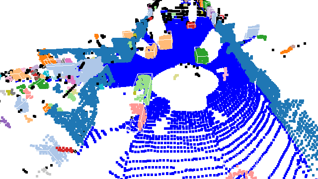
The project uses the KITTI dataset for analyzing point clouds. It leverages Open3D for visualization and includes processes like Voxel Grid Downsampling and RANSAC algorithm for segmenting road surfaces from obstacles.
It applies DBSCAN for clustering obstacles and constructs 3D bounding boxes around each identified obstacle, enhancing object tracking and spatial analysis.
The project employs bounding boxes based on the principal axes of the clustered objects, providing accurate object representation and positioning in 3D space.